Civic feature
Planned neighborhoods
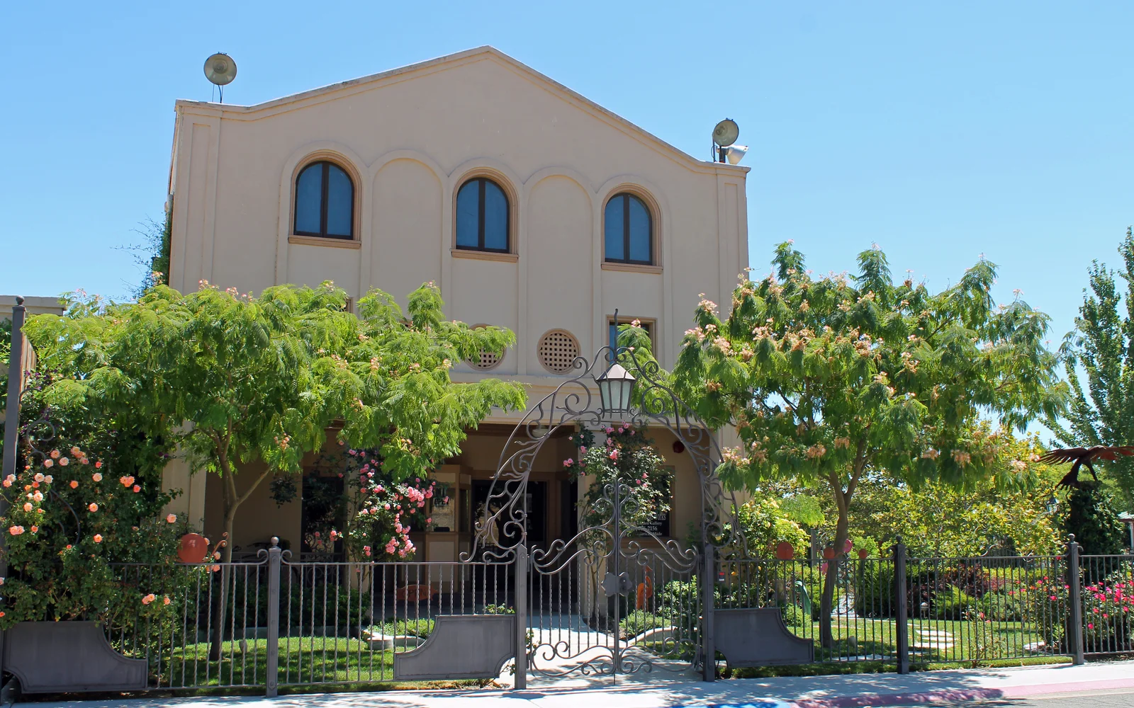

The cited Southeast Policy Area regulations document one of Elk Grove’s named planning frameworks. They translate broad land-use direction into districts, standards, review procedures, and a more specific arrangement of homes, streets, parks, commercial space, public facilities, and infrastructure. The record also identifies procedures used to evaluate later proposals.
The Southeast Policy Area shows how several layers work together. Its community plan supplies policy direction for land use, circulation, parks and recreation, infrastructure, and community character. A special planning area document supplies zoning rules, while separate architectural and landscape manuals address physical form. Those documents do not guarantee that every block or building is identical; they create a framework within which many individual projects are reviewed.
The Southeast Policy Area record helps explain why planning carries such weight. Its regulations define residential districts, density ranges, development standards, and review procedures across a large planned area. Those are broad land-use rules, not a substitute for confirming the construction, condition, use, residents, and improvements at a particular address.
Master-planned neighborhoods can make shared features more visible. Parks, trails, drainage corridors, landscaped entries, community facilities, and private associations may sit close together but carry different ownership and maintenance duties. A resident reviewing insurance should distinguish what belongs to the household, what belongs to an association or public entity, and where deductibles, exclusions, or assessment responsibilities could meet.
Development also arrives in phases. A street may contain houses of similar age while later additions, solar equipment, accessory structures, interior remodeling, or changed occupancy create meaningful differences. Keeping permits, contracts, receipts, photographs, and equipment specifications together makes a future conversation more precise. A planned street pattern does not make replacement cost or eligibility uniform.
Planning categories likewise describe land-use policy, not the makeup of every household. Insurance questions should use the household’s actual drivers, dependents, residents, property uses, and financial obligations. A new driver, home-based activity, rental arrangement, or major purchase can matter more to a review than a neighborhood label.
The practical connection is to boundaries and responsibilities. California’s Department of Insurance residential guide explains that condominium, tenant, homeowner, and other residential contracts address different interests and that consumers should understand exclusions and limits. In a planned community, start by identifying ownership, association documents, occupancy, improvements, and shared obligations. Then compare those facts with the policy and endorsements rather than assuming the plan name answers the coverage question.
One additional discipline follows from phased planning: verify which entity maintains a road, wall, drainage feature, roof, or shared landscape before assigning responsibility. Recorded documents and current contracts are better evidence than appearance alone.